Mandala Top: quick facts
| Altitude | 3,300 m |
|---|---|
| Best time to visit | October to April for clear ranges |
| Type of stop | Hidden gem |
| Nearby places | Sangti Valley, Dirang Dzong, Chug Valley |
Altitudes and timings are indicative; mountain road conditions and access can change with weather and local advisories.
History
The stupa complex on the ridge was consecrated relatively recently, but the site itself has long been a herding and pilgrimage ridge above Sangti. The 108 chortens were arranged as a mandala, which is where the name comes from.
Culture
Local families come up for prayer-flag renewal, and in clear season shepherds bring sheep to the high grass. It is a working ridge, not a monument park.
Photography tips
This is the best sunrise spot in West Kameng. Get there before first light for Gorichen and the Kangto massif turning pink behind the stupa line. A drone is superb here but check current rules with your guide.
Local travel tips
It is 10–12°C colder than Dirang and windy. Layers, gloves and a flask. The road is single-lane with no barrier in places — leave early to avoid meeting traffic on the descent.
How to reach
About 1.5 hours from Dirang on a narrow forest road; 4x4 recommended after rain.
Plan the trip
Circuits that include Mandala Top
Mandala Top is a sunrise run from Dirang, added on the itineraries that include a Dirang halt with time to spare.
The calculator is a planning tool, not a booking form — it gives an indicative budget by group size, nights and hotel category before you ask us for a quote.
Mandala Top: photographs
Photographs of this route, with the source credited beneath each frame.
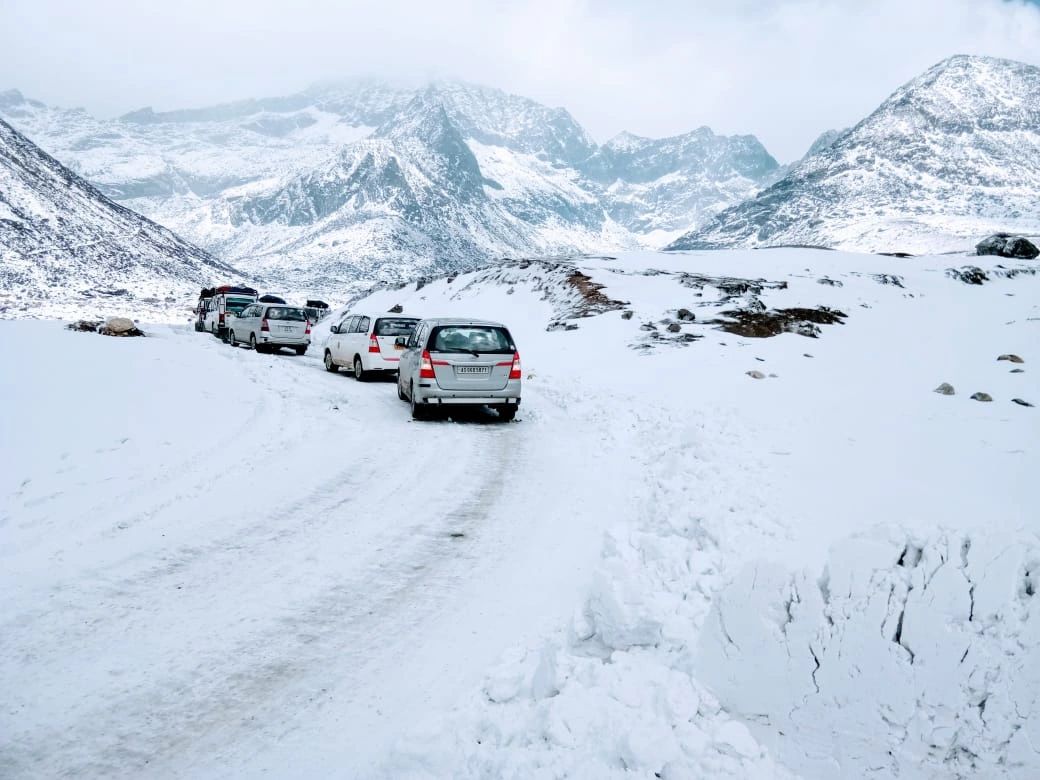
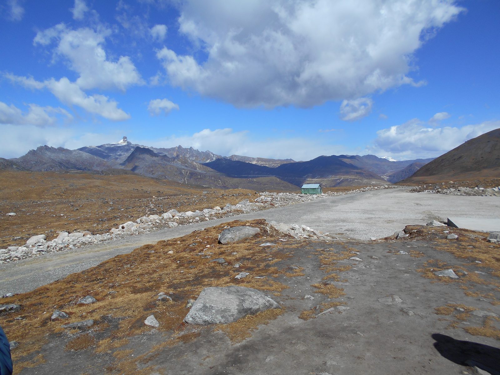
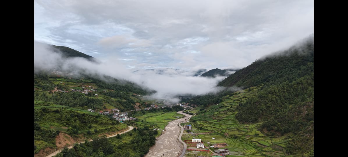
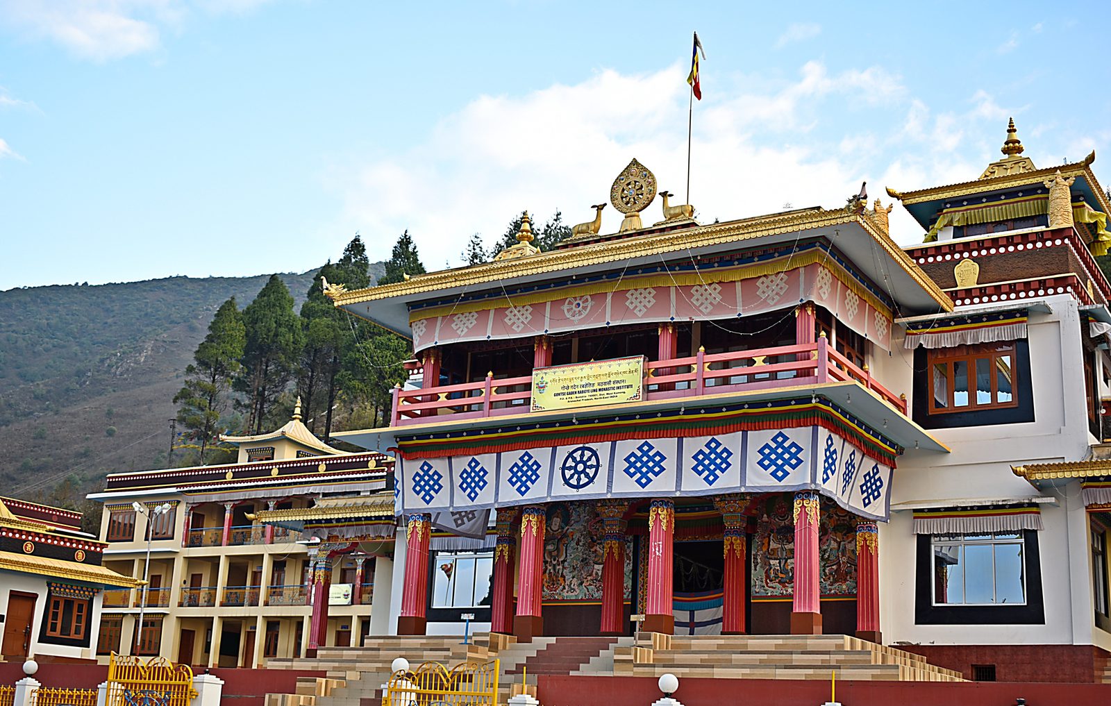
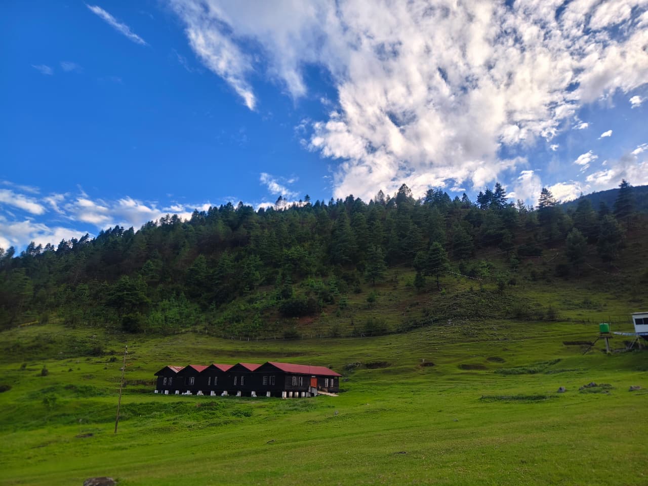
The 108 stupas at Mandala Top, above Dirang, in late-monsoon cloud.Mandala Top, Dirang, West Kameng · Photo: Living Roots Tours & Adventure Bum La Pass on the Indo-China border, 37 km north of Tawang and reachable only with an Army-countersigned permit.Bum La Pass, Tawang district, Arunachal Pradesh · Photo: Itrajib / Wikimedia Commons · CC BY-SA 4.0 Sangetsar Tso, better known as Madhuri Lake — the drowned fir trunks date from the 1950 Assam–Tibet earthquake.Sangetsar Tso, Tawang district, Arunachal Pradesh · Photo: Rohit Sharma / Wikimedia Commons · CC BY-SA 4.0 Gontse Gaden Rabgye Ling at Bomdila, built in 1965 by the twelfth Tsona Gontse Rinpoche.Bomdila, West Kameng, Arunachal Pradesh · Photo: Rohit Sharma / Wikimedia Commons · CC BY-SA 4.0
Location map
Nearby attractions
Keep planning
Where to go next on this site
Tawang packages
- Tawang tour packageMain planning page — routes, permits, inclusions
- 5 nights / 6 days Tawang packageThe compact Guwahati–Tawang run
- 6 nights / 7 days Tawang packageBest balance of pace and weather margin
- Luxury Tawang toursPremium stays and private vehicles
- Tawang group toursSmall-group journeys arranged when a suitable group is confirmed
- Tawang fixed departuresContact us for the next confirmed small-group departure
Travel guides
- Bumla Pass guide
- Best time to visit Tawang in winter
- Tawang snowfall month by month
- Guwahati to Tawang road trip
- Tawang permits, ILP and travel basics
- Sangti Valley guide
- Mago Valley guide
- Thembang village guide
- Best time to visit Tawang
- Tawang weather by month
- Tawang packing list
- Tawang trip budget guide
- Inner Line Permit: how to apply
- Bumla Pass permit process
- Tawang with family and kids
- Tawang honeymoon guide
- Tawang photography guide
- Tawang food guide
- Monpa culture guide
- Tawang festivals and Torgya
- Dirang travel guide
- Bomdila travel guide
- Tawang FAQs
- Shergaon travel guide
- Zemithang travel guide
- Mukto village guide
- Mandala Top guide
- Luxury Tawang travel guide
Planning the whole trip rather than one stop? Start with our Tawang tour package page — it covers routes, permits, seasons, stays and how a Tawang trip is quoted.