Eaglenest Wildlife Sanctuary: quick facts
| Altitude | 500–3,250 m |
|---|---|
| Best time to visit | October to May |
| Distance | Access via Tenga and Ramalingam |
| Driving time | 3 h from Bomdila |
| Typical weather | Variable by elevation, 2–26°C |
| Type of stop | Wildlife |
| Nearby places | Shergaon, Rupa, Balemu |
Altitudes and timings are indicative; mountain road conditions and access can change with weather and local advisories.
History
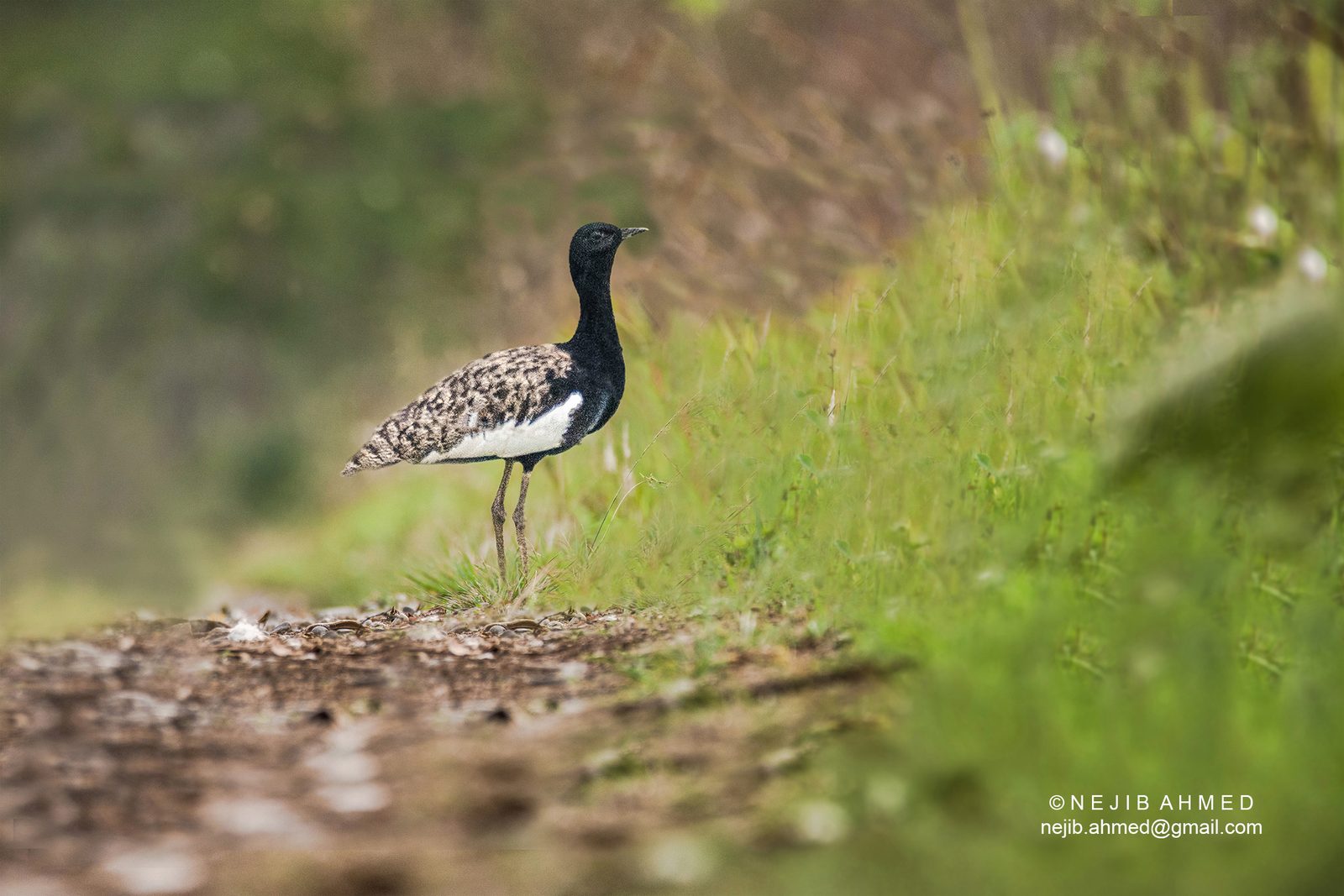
Eaglenest was thrust into global birding attention in 2006 with the description of the Bugun liocichla, a species new to science found nowhere else. Conservation here is led by the Bugun community itself.
Culture
The Bugun and Sherdukpen manage community forest reserves adjoining the sanctuary and staff most camps and guiding.
Photography tips
Dense forest, low light. Fast glass and high ISO discipline. Lama Camp clearing at dawn is the reliable open frame.
Local travel tips
This is a camping trip, not a hotel trip. Three to five nights, warm bedding, and a specialist bird guide are the difference between a list of twenty species and a list of a hundred and fifty.
How to reach
A single rough forest road runs the elevational gradient from Khellong to Eaglenest Pass. Camping at Lama Camp and Bompu; no hotels inside.
Plan the trip
Tawang itineraries including Eaglenest Wildlife Sanctuary
Eaglenest Wildlife Sanctuary is a stop on the Guwahati–Tawang circuit rather than a trip on its own. These itineraries show where it fits, and we can adjust the halts to your dates.
The calculator is a planning tool, not a booking form — it gives an indicative budget by group size, nights and hotel category before you ask us for a quote.
Eaglenest Wildlife Sanctuary: photographs
Photographs of this route, with the source credited beneath each frame.
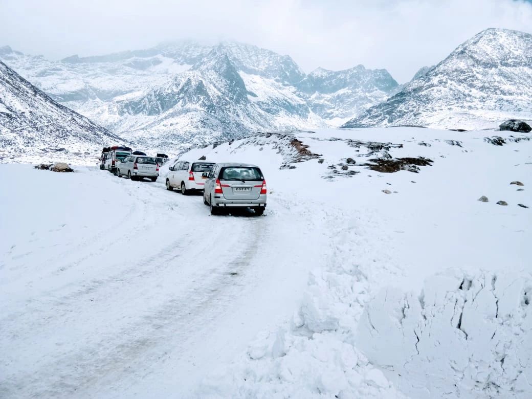
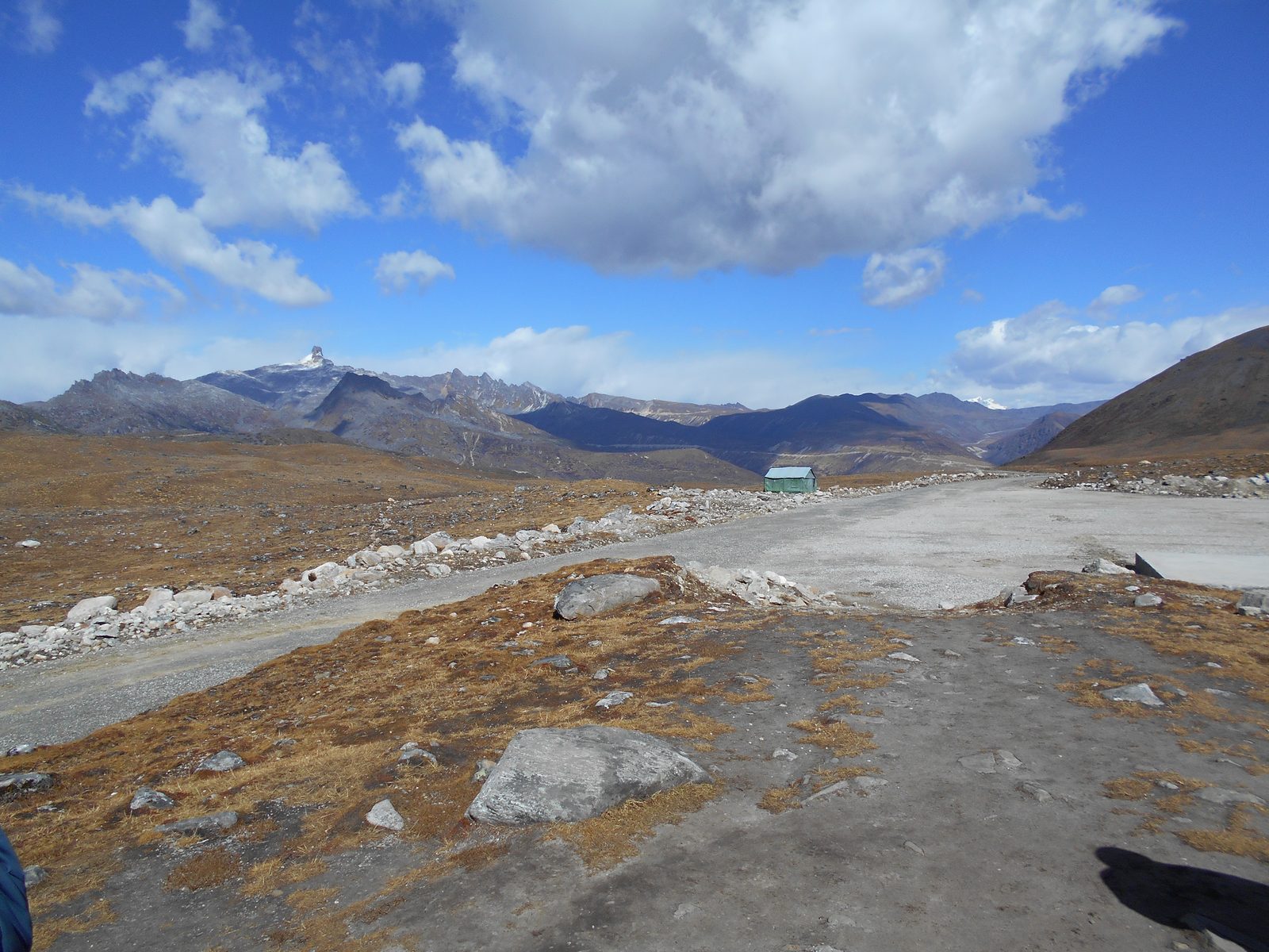
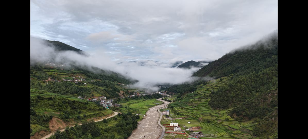
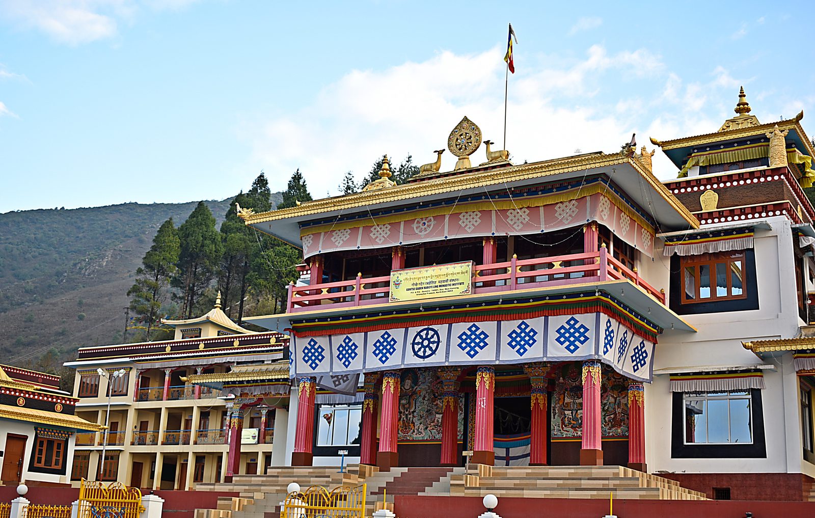
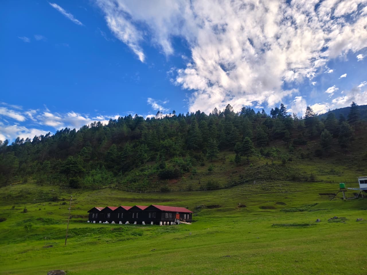
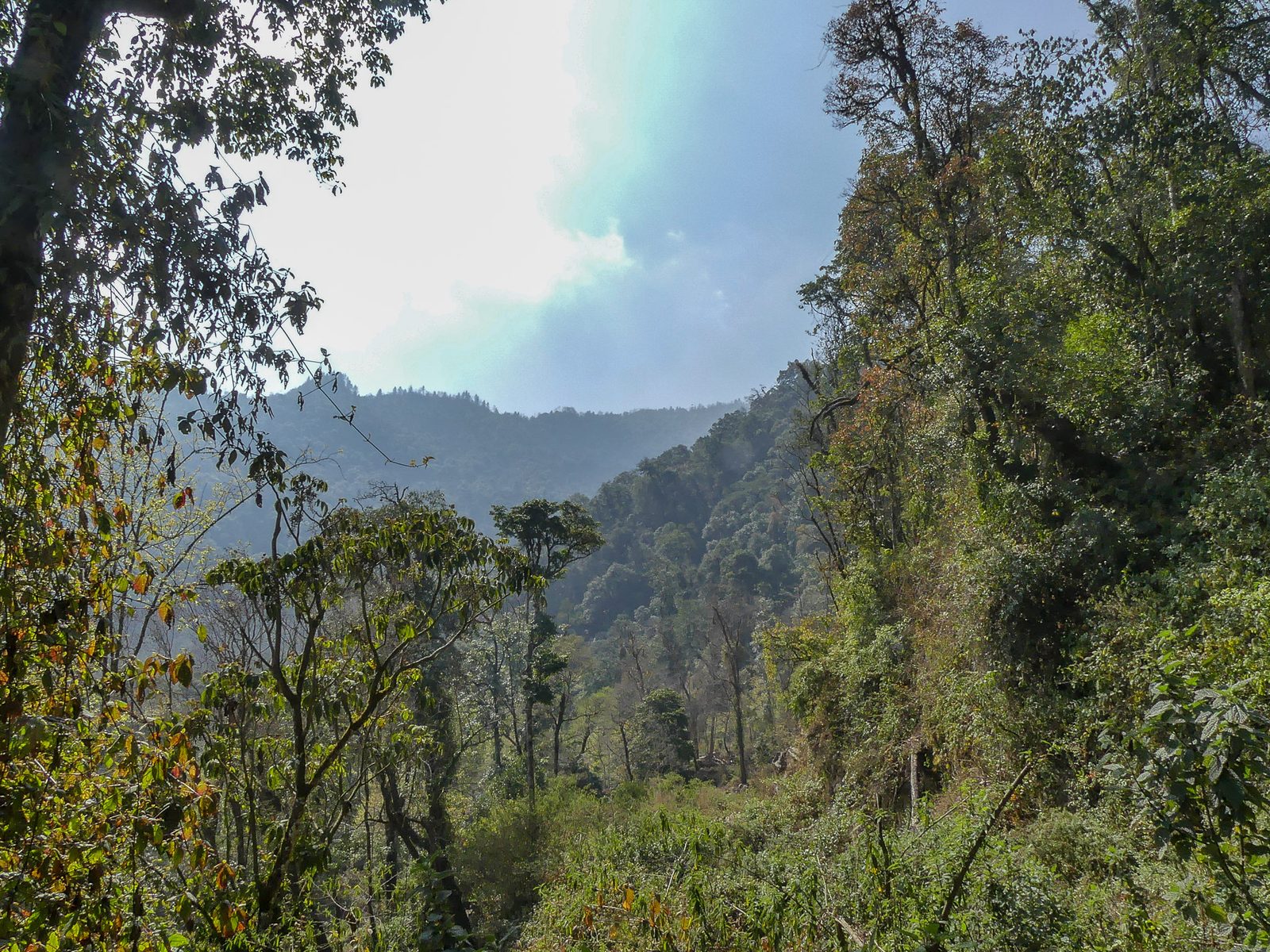
The forest gradient inside Eaglenest Wildlife Sanctuary — one rough road covers 500 m to 3,250 m of elevation.Eaglenest Wildlife Sanctuary, West Kameng, Arunachal Pradesh · Photo: Mike Prince / Wikimedia Commons · CC BY 2.0 Summer grazing meadows — the Brokpa herding season runs May to September.West Kameng highlands · Photo: Living Roots Tours & Adventure Bum La Pass on the Indo-China border, 37 km north of Tawang and reachable only with an Army-countersigned permit.Bum La Pass, Tawang district, Arunachal Pradesh · Photo: Itrajib / Wikimedia Commons · CC BY-SA 4.0 Sangetsar Tso, better known as Madhuri Lake — the drowned fir trunks date from the 1950 Assam–Tibet earthquake.Sangetsar Tso, Tawang district, Arunachal Pradesh · Photo: Rohit Sharma / Wikimedia Commons · CC BY-SA 4.0
Location map
Nearby attractions
Keep planning
Where to go next on this site
Tawang packages
- Tawang tour packageMain planning page — routes, permits, inclusions
- 5 nights / 6 days Tawang packageThe compact Guwahati–Tawang run
- 6 nights / 7 days Tawang packageBest balance of pace and weather margin
- Luxury Tawang toursPremium stays and private vehicles
- Tawang group toursSmall-group journeys arranged when a suitable group is confirmed
- Tawang fixed departuresContact us for the next confirmed small-group departure
Travel guides
- Bumla Pass guide
- Best time to visit Tawang in winter
- Tawang snowfall month by month
- Guwahati to Tawang road trip
- Tawang permits, ILP and travel basics
- Sangti Valley guide
- Mago Valley guide
- Thembang village guide
- Best time to visit Tawang
- Tawang weather by month
- Tawang packing list
- Tawang trip budget guide
- Inner Line Permit: how to apply
- Bumla Pass permit process
- Tawang with family and kids
- Tawang honeymoon guide
- Tawang photography guide
- Tawang food guide
- Monpa culture guide
- Tawang festivals and Torgya
- Dirang travel guide
- Bomdila travel guide
- Tawang FAQs
- Shergaon travel guide
- Zemithang travel guide
- Mukto village guide
- Mandala Top guide
- Luxury Tawang travel guide
Planning the whole trip rather than one stop? Start with our Tawang tour package page — it covers routes, permits, seasons, stays and how a Tawang trip is quoted.