Jang & Jang Waterfall: quick facts
| Altitude | 1,890 m |
|---|---|
| Best time to visit | June to October for water volume |
| Type of stop | Hidden gem |
| Nearby places | Nuranang Falls, Jaswant Garh, Thingbu |
Altitudes and timings are indicative; mountain road conditions and access can change with weather and local advisories.
History
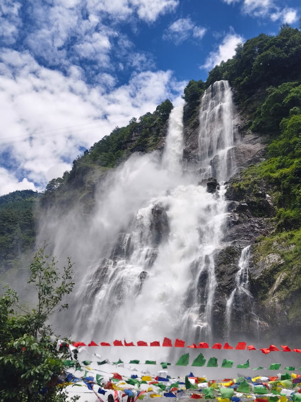
Jang is the administrative and market town for the Sela side of Tawang district. The waterfall — Nuranang, locally Jang Falls — powers a small hydel station and is named in local memory for a Monpa woman who aided Indian soldiers in 1962.
Culture
A working town rather than a scenic one: this is where drivers eat, vehicles get patched and the valley's produce is traded.
Photography tips
Shoot the fall from the lower deck for scale with a person in frame, and from the upper platform for the full drop. Monsoon spray demands a lens cloth and a shower cap for the body.
Local travel tips
Best thukpa on the route is in Jang's roadside kitchens. Stop for lunch on the way up rather than the way down.
How to reach
35 km before Tawang on the main highway.
Plan the trip
Tawang itineraries including Jang & Jang Waterfall
Jang & Jang Waterfall is a stop on the Guwahati–Tawang circuit rather than a trip on its own. These itineraries show where it fits, and we can adjust the halts to your dates.
The calculator is a planning tool, not a booking form — it gives an indicative budget by group size, nights and hotel category before you ask us for a quote.
Jang & Jang Waterfall: photographs
Photographs of this route, with the source credited beneath each frame.
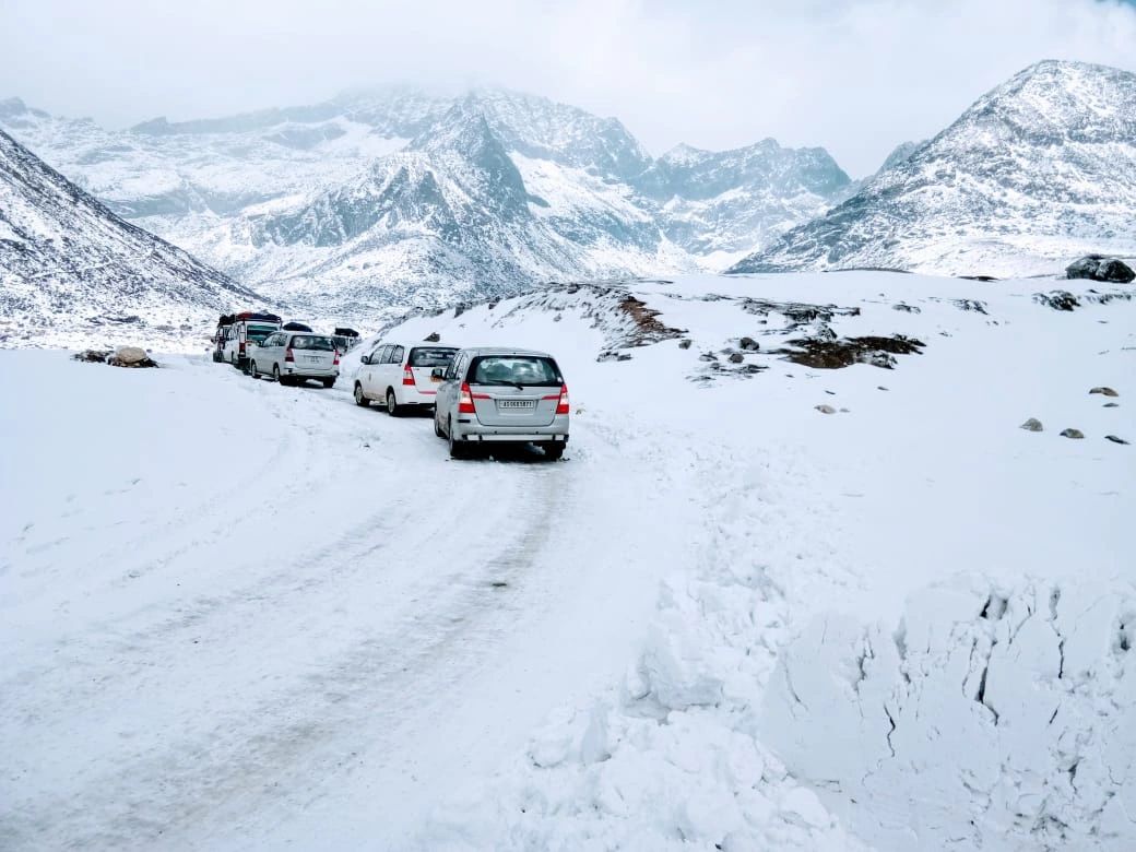
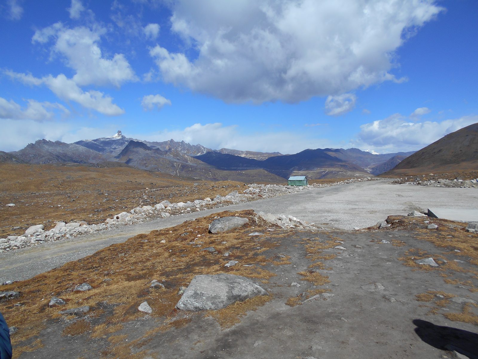
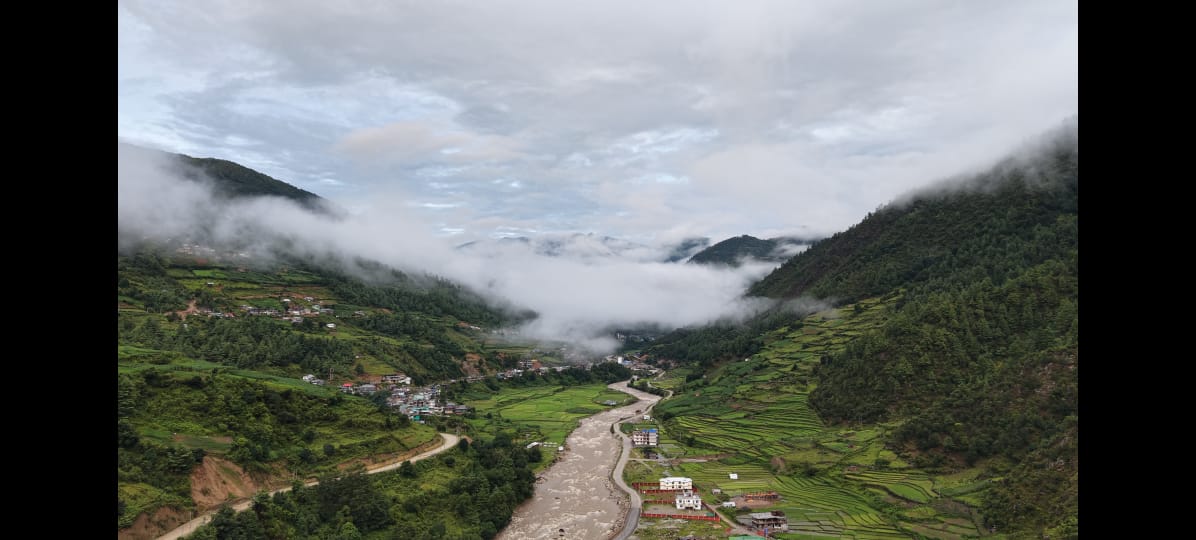
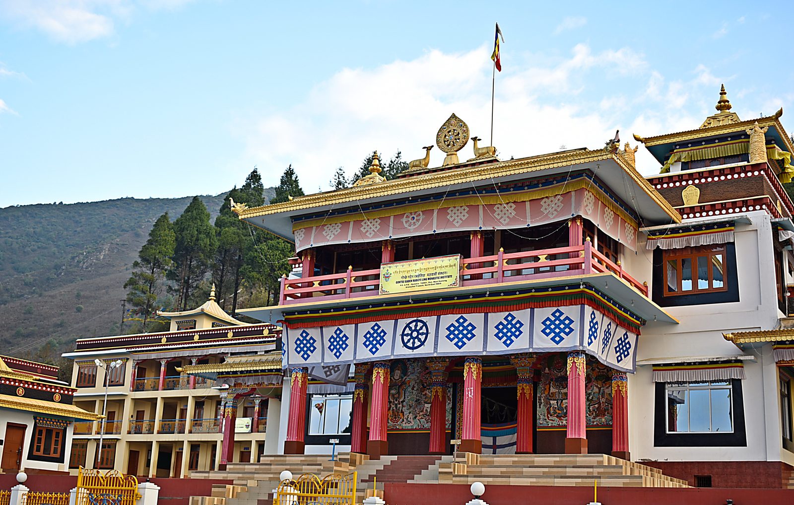
Nuranang (Jang) Falls at full monsoon volume, 40 km short of Tawang.Jang, Tawang district · Photo: Living Roots Tours & Adventure Bum La Pass on the Indo-China border, 37 km north of Tawang and reachable only with an Army-countersigned permit.Bum La Pass, Tawang district, Arunachal Pradesh · Photo: Itrajib / Wikimedia Commons · CC BY-SA 4.0 Sangetsar Tso, better known as Madhuri Lake — the drowned fir trunks date from the 1950 Assam–Tibet earthquake.Sangetsar Tso, Tawang district, Arunachal Pradesh · Photo: Rohit Sharma / Wikimedia Commons · CC BY-SA 4.0 Gontse Gaden Rabgye Ling at Bomdila, built in 1965 by the twelfth Tsona Gontse Rinpoche.Bomdila, West Kameng, Arunachal Pradesh · Photo: Rohit Sharma / Wikimedia Commons · CC BY-SA 4.0
Location map
Nearby attractions
Keep planning
Where to go next on this site
Tawang packages
- Tawang tour packageMain planning page — routes, permits, inclusions
- 5 nights / 6 days Tawang packageThe compact Guwahati–Tawang run
- 6 nights / 7 days Tawang packageBest balance of pace and weather margin
- Luxury Tawang toursPremium stays and private vehicles
- Tawang group toursSmall-group journeys arranged when a suitable group is confirmed
- Tawang fixed departuresContact us for the next confirmed small-group departure
Travel guides
- Bumla Pass guide
- Best time to visit Tawang in winter
- Tawang snowfall month by month
- Guwahati to Tawang road trip
- Tawang permits, ILP and travel basics
- Sangti Valley guide
- Mago Valley guide
- Thembang village guide
- Best time to visit Tawang
- Tawang weather by month
- Tawang packing list
- Tawang trip budget guide
- Inner Line Permit: how to apply
- Bumla Pass permit process
- Tawang with family and kids
- Tawang honeymoon guide
- Tawang photography guide
- Tawang food guide
- Monpa culture guide
- Tawang festivals and Torgya
- Dirang travel guide
- Bomdila travel guide
- Tawang FAQs
- Shergaon travel guide
- Zemithang travel guide
- Mukto village guide
- Mandala Top guide
- Luxury Tawang travel guide
Planning the whole trip rather than one stop? Start with our Tawang tour package page — it covers routes, permits, seasons, stays and how a Tawang trip is quoted.